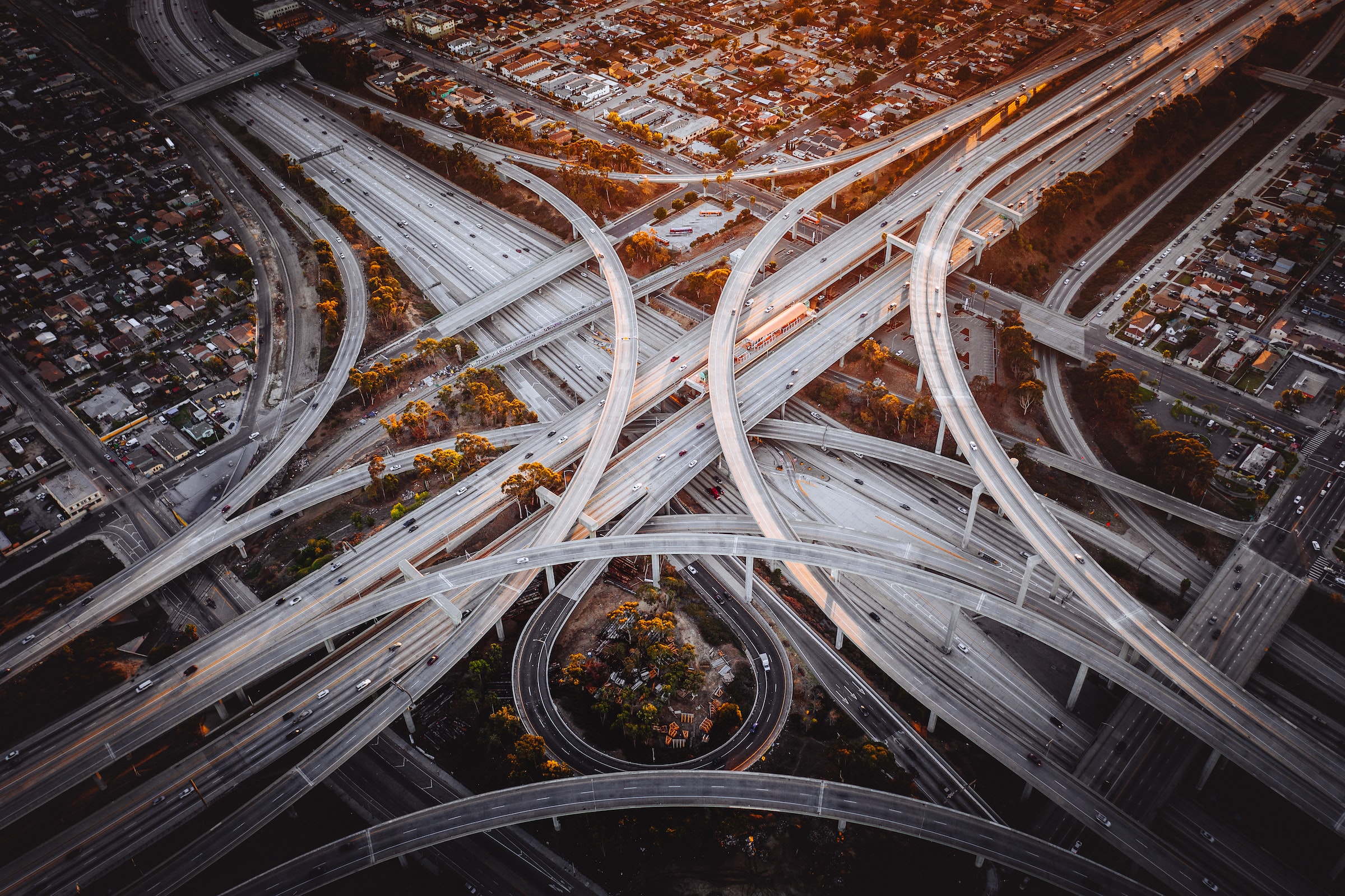
Building a controversial brand new, four-mile, four-lane toll road would increase traffic on one of the most congested roads in Austin, and increase water pollution in an environmentally sensitive area critical for recharging an aquifer providing drinking water to 2 million Texans.
Update for current status:
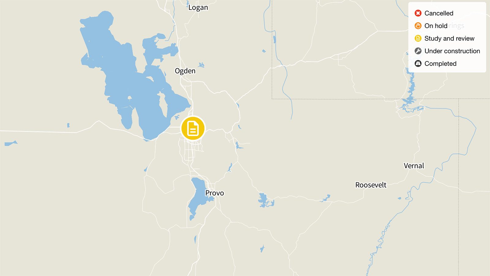
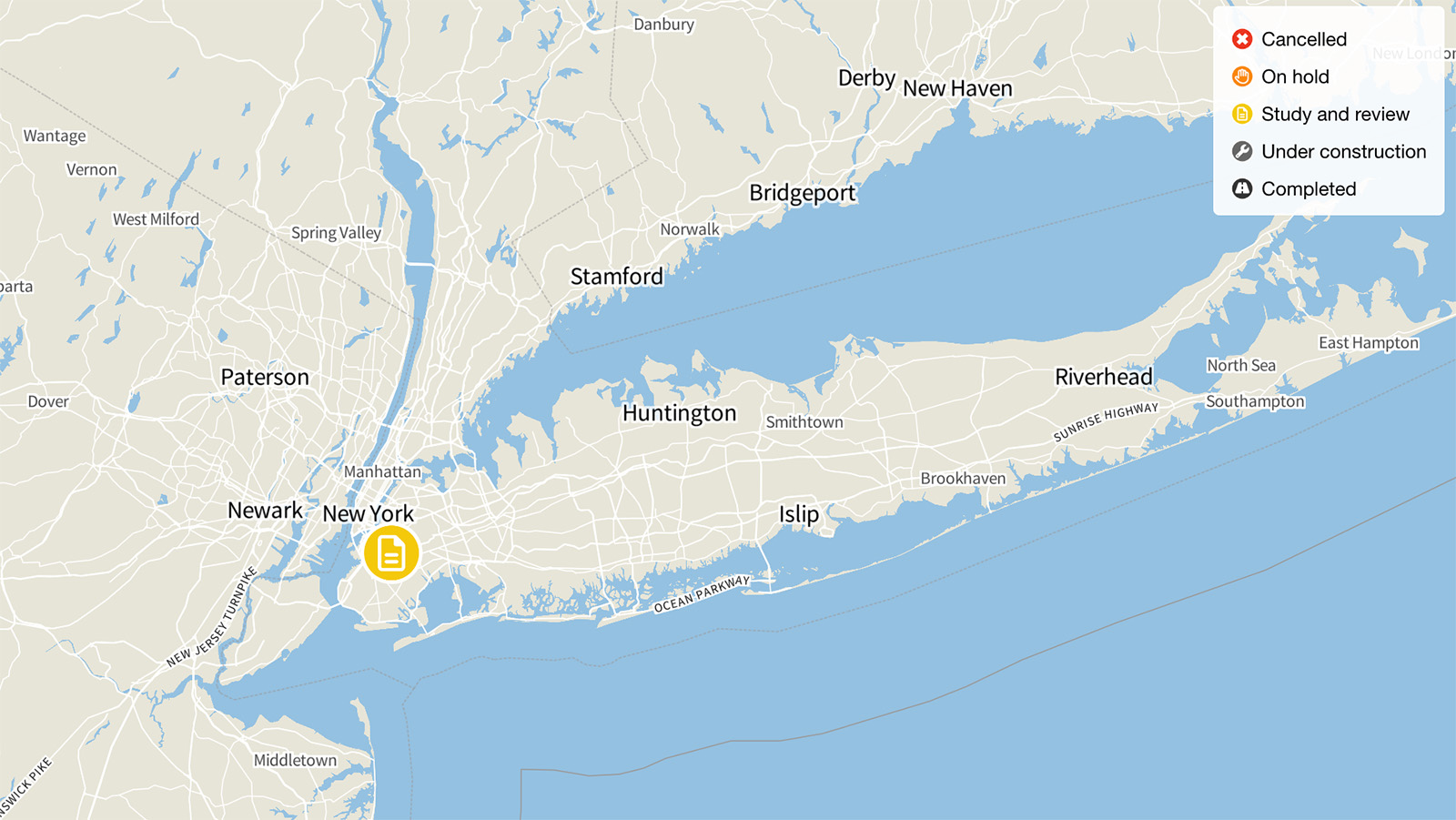
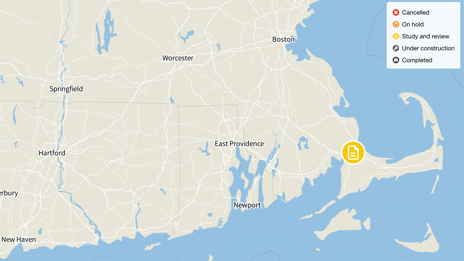
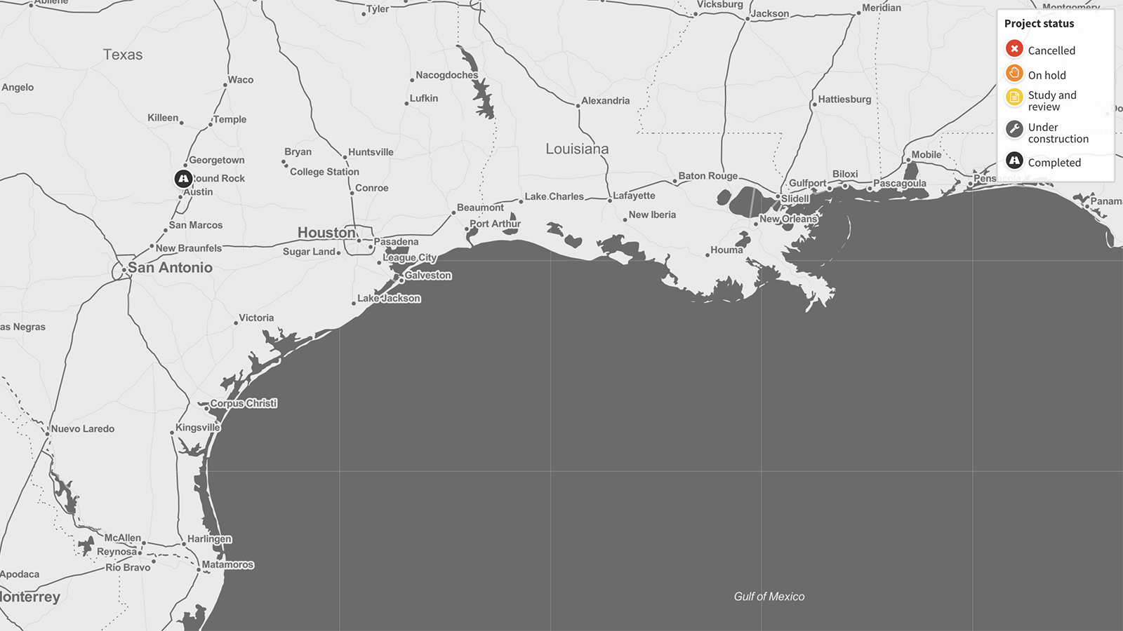
The Texas State Highway 45 Southwest project was completed in 2019.
Update from Highway Boondoggles 4, 2018:
Construction of the 3.6-mile, $109 million State Highway 45 Southwest project started on November 8, 2016. The Central Texas Regional Mobility Authority contracted with McCarthy Building Companies for the construction portion of the project. Construction is expected to last three years, with the new expressway slated to open in late 2019. Models suggest the new road will cause increased traffic on Austin’s MoPac Expressway, a road already suffering from heavy congestion. Future plans to further expand State Highway 45 Southwest across Farm-to-Market Route 1626 and connecting directly to I-35 would draw even more traffic to the road and consequently to the MoPac expressway.
Original story from Highway Boondoggles 2, 2016:
Building a controversial brand new, four-mile, four-lane toll road would increase traffic on one of the most congested roads in Austin, and increase water pollution in an environmentally sensitive area critical for recharging an aquifer providing drinking water to 2 million Texans.
The Texas Department of Transportation’s efforts to connect Austin’s MoPac Expressway to I-35 along Bear Creek date back to the 1980s. For 20 years, the connection from I-35 to MoPac, formally called Loop 1 and nicknamed after the old Missouri-Pacific railway that ran where the road now does, has not been a high enough priority to attract funding.
Now, efforts are coming together to build the first leg of that road, from MoPac to Farm-to-Market Route (FM) 1626, a state-maintained road running roughly northwest from Hays to the Ashbrook neighborhood of Austin. The currently proposed extension would intersect with FM 1626 just south of Big Valley Road, four miles from where FM 1626 meets I-35. TxDOT has separated the other segments of the connector road into distinct projects; each piece must be evaluated on its own merits, as well as its connection to the larger concept.
Most of the money for the connection of MoPac to FM 1626 will come from the Texas Department of Transportation, which is providing $29 million in grant funding, and another $60 million in bond authorizations, which will be repaid by projected toll revenue. An additional $5 million will come from Hays County, and $15 million more from Travis County.
The money will be spent on a project that TxDOT admits would draw new traffic to MoPac, which is already being expanded in hopes of relieving existing congestion. Continuing the road across FM 1626 and connecting directly to I-35 would be the next step, drawing even more traffic through the two busy roads.
TxDOT predicts that building the new highway segment would increase the number of miles driven by an average of 15 percent on all roads in the surrounding area. All of that traffic would result in more air pollution than would happen without the highway.
Further compounding the project’s environmental damage, nearly all of the road’s planned route crosses above the Edwards Aquifer, which provides drinking water for 2 million Texans. In addition, the road would pass 350 feet from the entrance to Flint Ridge Cave, a key part of the recharge system for the Edwards Aquifer, which is particularly vulnerable to pollution from surface water runoff from the highway. The aquifer is also the source of Barton Springs, a key natural and recreational aspect of the Austin area that is also home to the federally endangered Texas blind salamander and Barton Springs salamander.
The highway project’s water pollution control plans allow for oil, grease and other pollutants resulting from construction and use of the highway to enter the area’s surface water and groundwater.
The money intended for State Highway 45 Southwest could be used to help support other transportation priorities in the area. The surface conditions of existing roads in Austin and the surrounding counties, for example, are expected to decline from 2015 through 2018, even with the level of investment currently scheduled. There are 21 structurally deficient bridges in the region covered by the Capital Area Metropolitan Planning Organization.
In addition, funds are needed to support the growing range of transportation options that are already enabling more residents in fast-growing Austin to travel without adding to congestion on the roads. For example, the city’s transportation agency, Capital Metro, wants to spend $29 million to lay a second set of tracks to improve Red Line service into downtown, and another $111 million to buy additional rail cars, upgrade stations, and make other improvements to allow for even more passenger service.
Find out more